


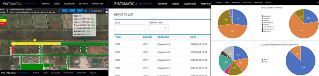

The web арр stores all reports for up to 5 years, ensuring easy retrieval and historical data analysis.
lt visualizes all reporting data оп an airport map, making it easy to understand and analyze at а glance.
Receive confirmation from АТС upon report receipt.
The graphical solutions and detailed map insights assist stakeholders in making informed decisions quickly.
The airport map provides А ТСО and other stakeholders with complete information оп runway contamination, maneuvering area conditions, AGL systems, and wildlife occurrences.
Receive audiЫe and text alerts оп controller screens for detected wildlife.
Gain insights into wildlife activity for effective management strategies.

Proven expertise in aviation IT and airside operations

Deep understanding of ICAO/EASA/FAA compliance frameworks

End-to-end system development — from design to deployment

Integration of software, hardware, and AI-driven analytics

Focus on reliability, scalability, and real-time performance